Archivio digitale di mappe di Orienteering di Thor Nørskov
|
Accedi
Tutti gli utenti
|
Lingua:
Italiano
Česky
Dansk
Deutsch
Eesti
English
Español
Français
Italiano
Magyar
Norsk
Português
Svenska
Türkçe
|
DOMA 3.0.8
Mostra le scelte di percorso
Nascondi le scelte di percorso
|
Mostra anteprima della carta
Nascondi anteprima della carta
|
KML
|
Indietro
<< Middle distance (2016-02-16)
|
O-intervals (2016-02-18) >>
Compass longrun (2016-02-17)
Categoria:
Träning
Nome della mappa:
Mira
Organizzatore:
The National Team
Paese:
Portugal
Disciplina:
10,8
Distanza:
20.53 km
Tempo:
100:32
Time: 58:10
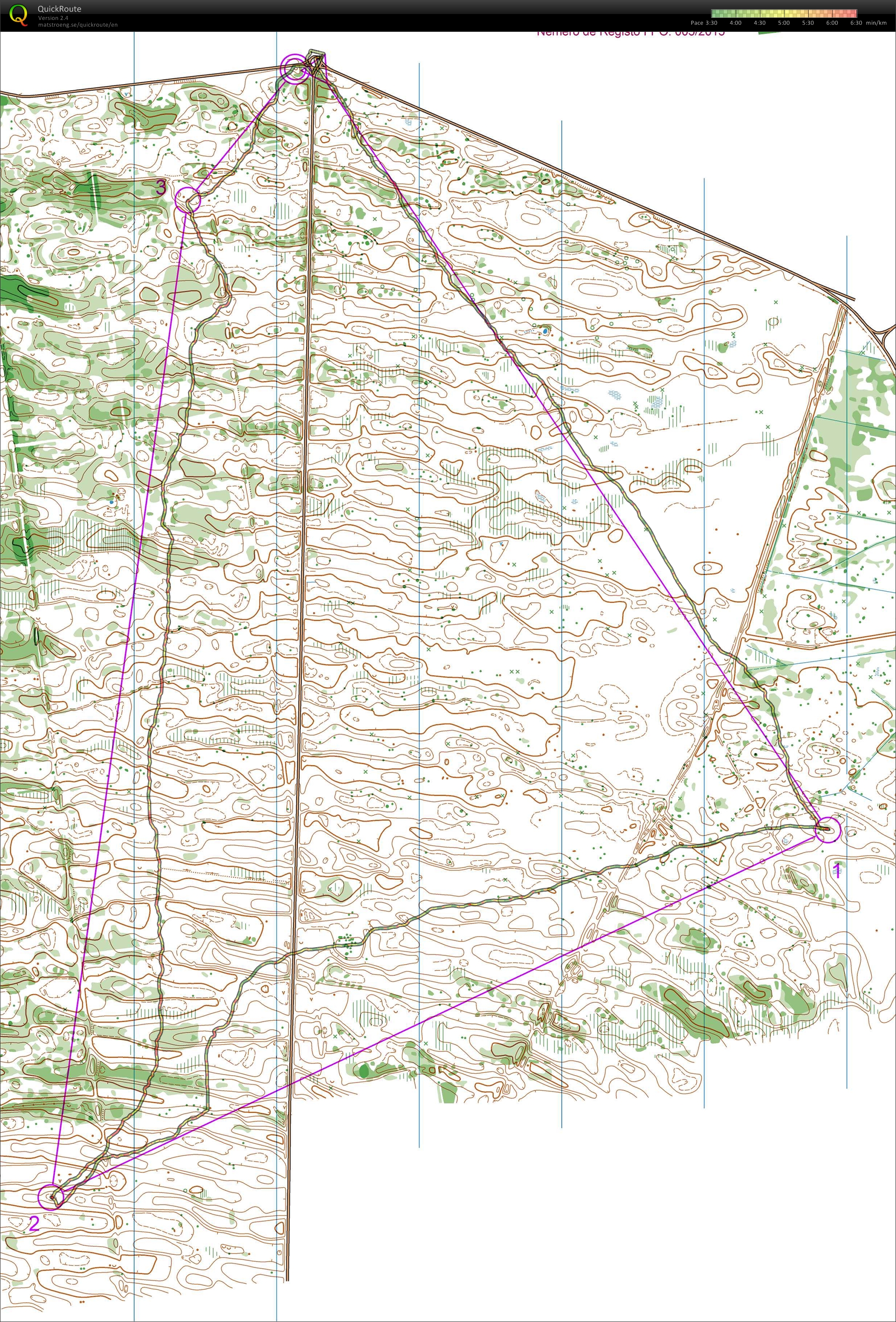
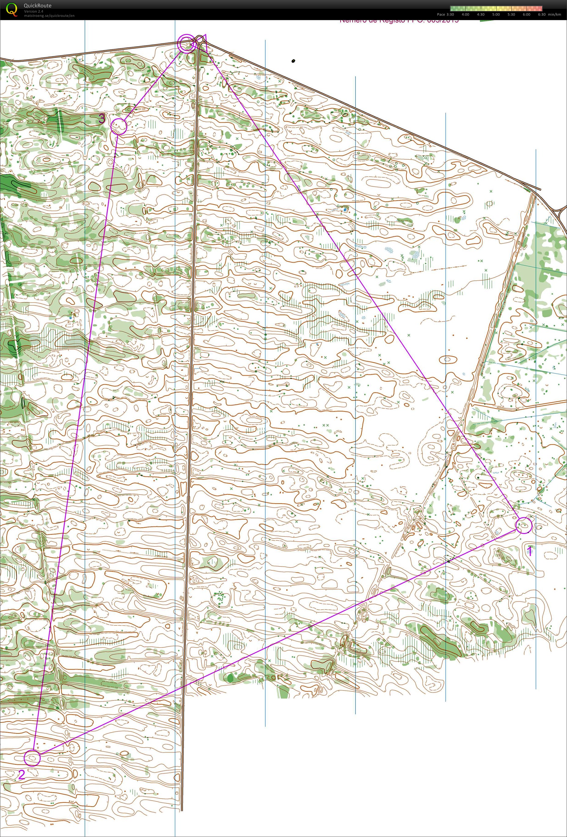
Did this course as a part of a shortened long run with Magnus Dewett and Björn Cederberg. We did one leg each and was supposed to stop one or more times and see if the others were following on the map. We didn't had to go completely straight to make the others loose contact.
Dewett: first leg - stopped at small depression 50 meters before the control.
Björn: second leg - stopped about 250 meters after we crossed the road at the top of the hill.
I did the third leg: stopped a little less than halfway in a depression. The others had to do push ups as punishment for not knowing where we were. Stopped one more time like a kilometer later. More push ups for Dewett.
Really fun cruise training and great to have Björn on the team.
Visualizza commenti
Nascondi commenti
(
0
)
Pubblica il nuovo commento
Nome:
Email:
Salva
 Italiano
 Česky
Česky Dansk
Dansk Deutsch
 Eesti
Eesti English
 Español
 Français
 Magyar
 Norsk
Norsk Português
 Svenska
 Türkçe